
The Regional Centre for Mapping of Resources for Development (RCMRD) is using satellite technology to help governments make better decisions on land, water, agriculture, and disaster management.
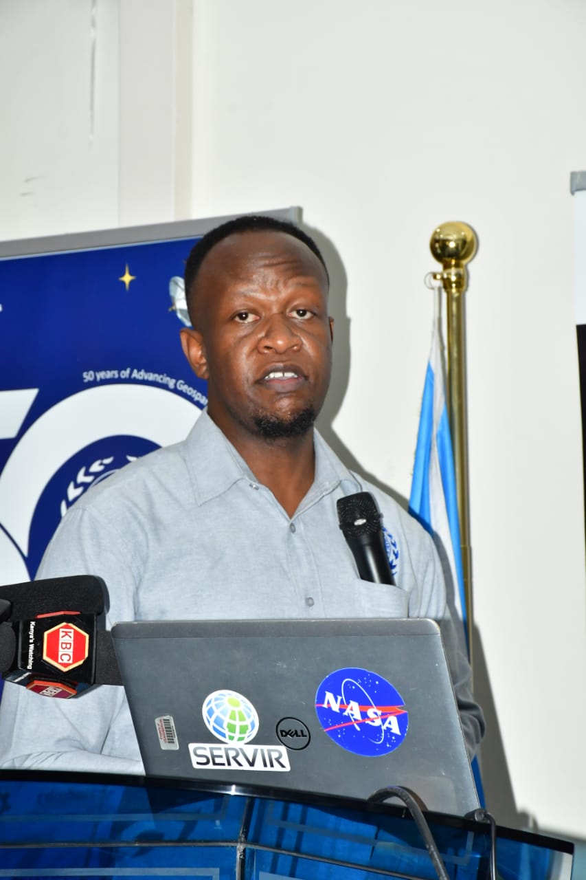
Speaking during a media breakfast, Kenneth Kasera, the User Engagement Manager at RCMRD, said the Centre uses Earth observation data to extract valuable information from satellite images.
This data includes identifying features like roads, forests, and houses to help countries plan and manage resources effectively.
“Rcmrd utilizes Earth observation information to support decisions on planning, water, agriculture, and land management,” Kasera explained.
He emphasized that the technology allows governments to see ahead of disasters such as floods and droughts, making it possible to plan interventions in advance.With sophisticated systems and models, RCMRD can predict where disasters might occur based on rainfall and other parameters.

“When climate variability happens, our data can help determine the extent of damage, who is vulnerable, and the cost involved. This makes it easier for governments to know who to evacuate and how to support the affected communities,” he said.
As RCMRD celebrates its 50th anniversary, the milestone offers a moment to reflect on its journey, achievements, and the tools it has provided to its 20 member states, which serve over 500 million people.
Kasera noted that the media engagement provided a rare opportunity to share the Centre’s work with a wider audience.
“We rarely get a chance to engage the media. Today, we are able to explain what we do, who we work with, and how this benefits Kenyans and other member states,” he added.
He said that by making its data available, RCMRD empowers governments to make informed decisions that save lives, protect livelihoods, and enhance sustainable development.


